PNG vs SVG vs JPEG vs WebP: Which Export Format Should You Use for Your Map
·4 min·View as Markdown
TagsMap Export
Written byJordan Hale — Writer, Oh My Maps!
Contents
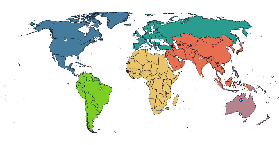
“Which format should I export in” is a question with a short, honest answer for most maps, and a longer one worth knowing if your map is going somewhere specific. Oh My Maps! exports four formats from a single serialised SVG of your map, so the raster files can never drift from the vector one: same colours, same labels, same legend, every time.
The short answer
PNG at 4000 px covers almost every use: slides, documents, social posts, a page in a report. It is lossless, it keeps transparency where you have it, and 4000 px is sharp on any screen and most prints. Reach for something else only when you have a specific reason, and the sections below are the specific reasons.
PNG: the default
Lossless, and it preserves transparency. If your Background colour is set
to null (the default), a PNG export has a transparent background, which is
what you want for a map that will sit on top of another colour or image in a
slide or a document. Pick PNG unless one of the reasons below applies to you.
JPEG: smallest file, opaque background
JPEG compresses harder than PNG, which matters if you are emailing a map or attaching it somewhere with a size limit. The trade-off is that JPEG has no transparency: any area that would have been see-through is flattened to white before the file is written. If your map has a background colour set already, this costs nothing; if it does not, check the result before sending it somewhere the white corners would look wrong.
Compare them yourself. Export the same map as PNG and JPEG and look at the file sizes side by side.
Open the editorWebP: JPEG’s file size, PNG’s transparency
WebP is the format most people have never deliberately chosen, and it is often the right one: smaller than PNG at equivalent quality, while keeping transparency the way PNG does. If your destination accepts WebP (most modern web platforms do), it beats PNG on file size for the same visual quality with nothing given up. The one reason to skip it is a destination that only accepts the traditional trio of PNG, JPEG and PDF.
SVG: the one to keep editing
SVG is vector, not raster: it scales to any size with no loss of sharpness, because there are no pixels to run out of. It is the format to choose when the map is not finished, in a sense, when it needs a caption added in Illustrator, a colour nudged in Inkscape, or when it is going to print at a size nobody has decided yet. It is also the sharpest option for a map that will be zoomed into on screen, which is worth remembering for anything destined for Google Images.
The trade-off is compatibility: not every tool that accepts an image accepts SVG, and some platforms (most social scrapers, for example) will not render one as a preview at all. For those, export a PNG as well.
Picking a resolution
Every raster format offers 2000, 4000 or 8000 px on the long edge:
- 2000 px is enough for a quick preview or a small web image.
- 4000 px is the right default for a slide, a document, or a social post.
- 8000 px is for print, or for a poster you plan to crop into afterward.
If you are zoomed into part of the map when you export, you get an extra choice: the current view or the whole map, so a close-up does not force you to re-frame from scratch.
Beyond the image: data and the map itself
Two exports are not images at all, and are easy to overlook:
- Export data as CSV or TSV hands back the numbers behind a choropleth map, country name plus value, in a file that re-imports cleanly if you need to hand a colleague both the map and the data behind it. Full detail in how to create a choropleth map from spreadsheet data.
- Save as
.jsonwrites the whole map document, not a picture of it, so you can reopen it later and keep editing exactly where you left off.
None of the six carry a watermark, and all six run entirely in your browser.
Next steps
- The full tour of the editor covers every control that ends up in the exported file.
- A map of countries you have visited walks through a typical export decision (PNG for a social post, SVG to keep editing) start to finish.
Ready to make yours? Oh My Maps! is free, runs in the browser and needs no sign-up. Your map is saved locally as you work, and exports carry no watermark.
Open the editor