Start here
5 min
The UN Endorsed the Equal Earth Projection: What the Resolution Actually Says
On 4 September 2026 the UN General Assembly adopted resolution A/80/L.104, 'Correct the map', by 164 votes to 1. Here is what it does, what it does not do, and why almost every headline about it was wrong.
Start here
9 min
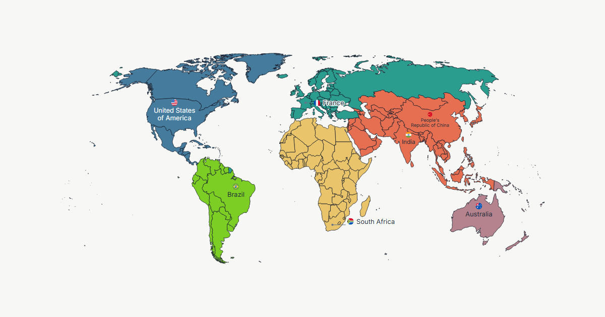
How to Make a Custom World Map Online (Free, No Sign-Up)
A complete walkthrough of building a custom world map in the browser: painting countries, selecting whole continents, patterns, labels and flags, a legend, projections, and exporting a print-ready file.
4 min
Equal-Area vs Compromise Projections: Which One Does Your Map Actually Need?
The UN recommended equal-area projections, but equal-area is not automatically right for every map. A decision guide covering Equal Earth, Natural Earth, Robinson and when each one wins.
4 min
What Is the Equal Earth Projection? The Map the UN Named, Explained
Equal Earth is a pseudocylindrical equal-area projection from 2018 that looks like Robinson but gets every country's area exactly right. Here is what it preserves, what it distorts, and when to use it.
4 min
How to Make an Equal Earth Map Online (Free, No Sign-Up)
A step-by-step walkthrough of building a world map on the Equal Earth projection in the browser: paint or import your data, switch projection, add a legend, and export it print-ready.
4 min
The True Size of Africa: Why Mercator Shrinks a Continent
Africa is about 14 times the size of Greenland, but a Mercator map draws them nearly equal. Here is the arithmetic behind the distortion, and why a UN resolution ended up being about it.
3 min
How to Make a US Sales Territory or Regional Map (Census Regions Included)
Build a US territory or regional business map: apply Census regions as a starting point, adjust the states that don't fit, and colour by customer count, revenue or any other value from a spreadsheet.
3 min
How to Share a Custom Map with a Link (No Account, No File Upload)
Send someone your painted map with a single link that reproduces it exactly, without creating an account and without any map data ever reaching a server.
4 min
How to Make a Rotating Globe Map (Orthographic Projection)
Turn your painted world map into a rotatable globe: how to spin it, frame a hemisphere, and export a view centred exactly where you want it.
3 min
How to Make Every Country a Different Colour (Random Colour Tool)
Colour every country on the map a distinct hue in one click, useful for reference maps and presentations where no data is behind the colours.
4 min
PNG vs SVG vs JPEG vs WebP: Which Export Format Should You Use for Your Map
A practical guide to the four export formats in Oh My Maps!: which one to pick for a slide, a printed page, a social post, or a file you will keep editing.
3 min
How to Colour Country Groups and Alliances (EU, NATO, BRICS and More) in One Click
Paint whole continents, the European Union, NATO, BRICS, OPEC, ASEAN or Mercosur in a single click, then adjust the two or three countries you disagree with.
4 min
Free Alternatives to MapChart: How Oh My Maps! Compares for Custom Maps
An honest, feature-by-feature comparison between Oh My Maps! and MapChart for painting custom maps, with what each tool actually offers and where they differ.
3 min
How to Make a Geography Quiz or Classroom Map
Build a blank or partially labelled map for a geography quiz or handout: paint the countries you're asking about, control exactly which names show, and export a print-ready file.
3 min
How to Make a Colour-Blind-Friendly, Print-Safe Map with Patterns
Add diagonal hatching or dots to a painted country so your map still reads correctly in black-and-white print and for colour-blind viewers.
4 min
How Oh My Maps! Places Country Labels Automatically (and What Happens When It Can't)
How the editor decides where a country name goes when it doesn't fit inside its own borders, and what happens on a map too crowded for labels to fit at all.
7 min
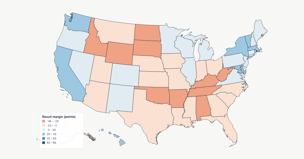
How to Make a US Election Map (or Any Map of the 50 States)
Build a map of the 50 states and DC in the browser: paint states by hand, apply Census regions in one click, import results from a spreadsheet by state name, abbreviation or FIPS code, and export without a watermark.
7 min
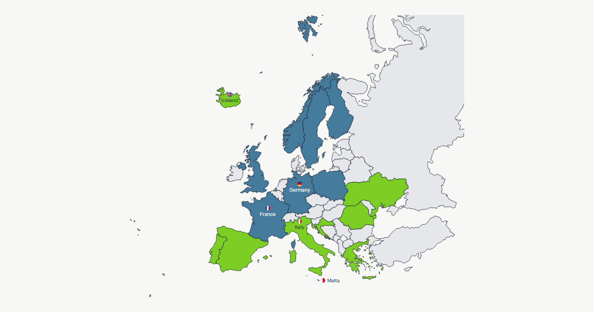
How to Make a Map of Europe
Colour a map of Europe in the browser: 51 countries and territories including the microstates, five projections, flags beside labels, spreadsheet import by name or ISO code, and an unwatermarked export.
7 min
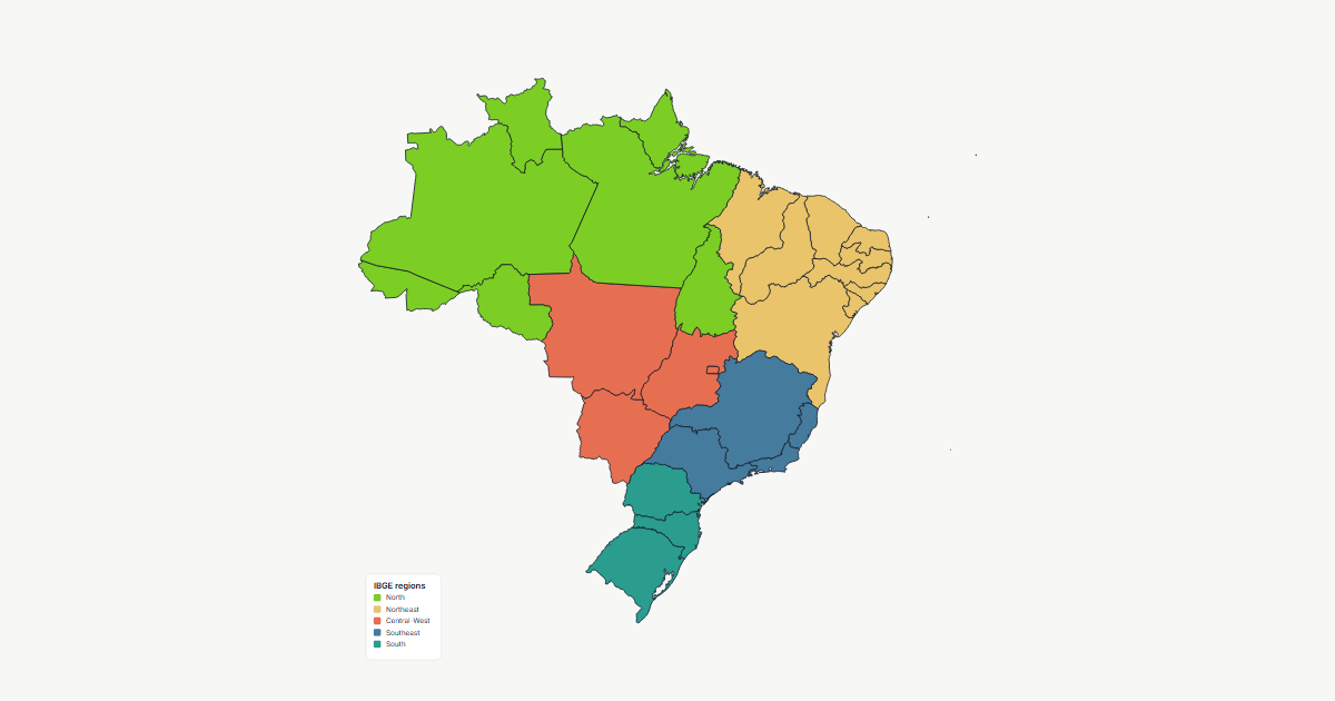
How to Make a Map of Brazil's States
Colour the 27 Brazilian federative units in the browser: paint them by hand, apply the five IBGE regions in one click, import a spreadsheet by state name or two-letter code, and export a print-ready file.
7 min
Which Map Projection Should You Use? Natural Earth vs Equal Earth vs Mercator (and 3 more)
A practical guide to the six world map projections in Oh My Maps!: what each one distorts, what it preserves, and which to pick for a travel map, a choropleth, a navigation chart or a slide.
6 min
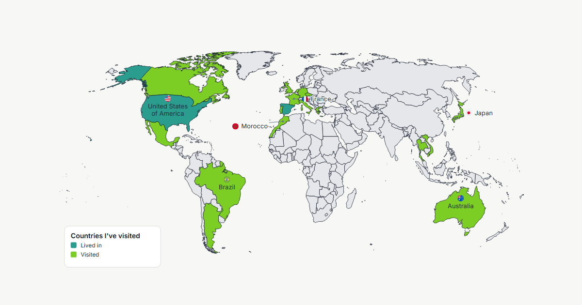
How to Make a Map of Countries You've Visited
Build a travel map of the countries you've been to in a few minutes: paint them, separate 'lived in' from 'passed through', add a legend, and export a print-ready image or a shareable link.
6 min
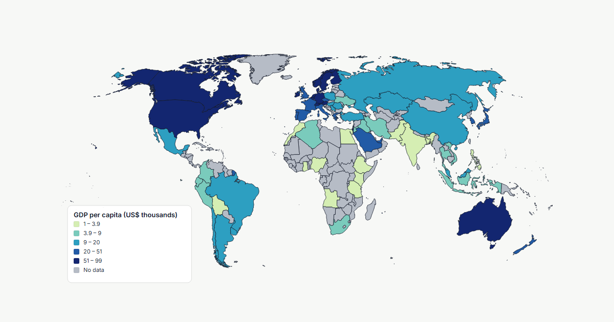
How to Create a Choropleth Map from Spreadsheet Data
Paste a CSV or TSV of country values and get a shaded choropleth map: matching countries, choosing sequential or diverging scales, equal intervals vs quantiles vs custom thresholds, and exporting with a generated legend.
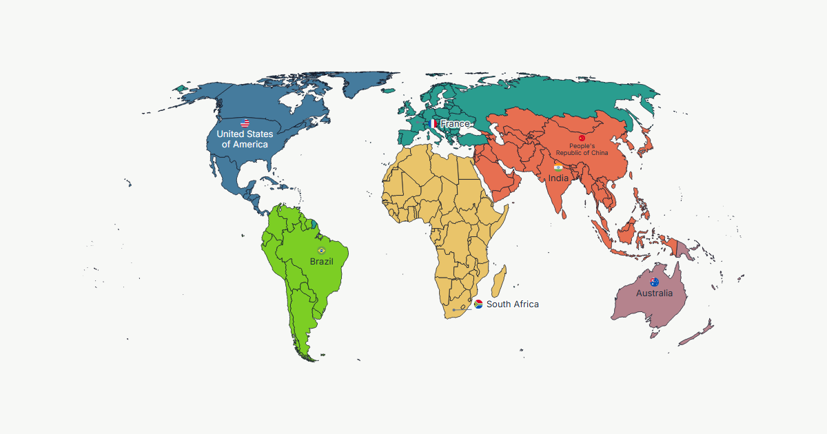
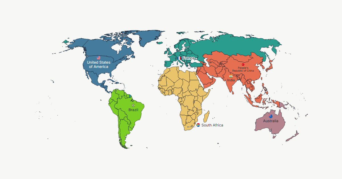
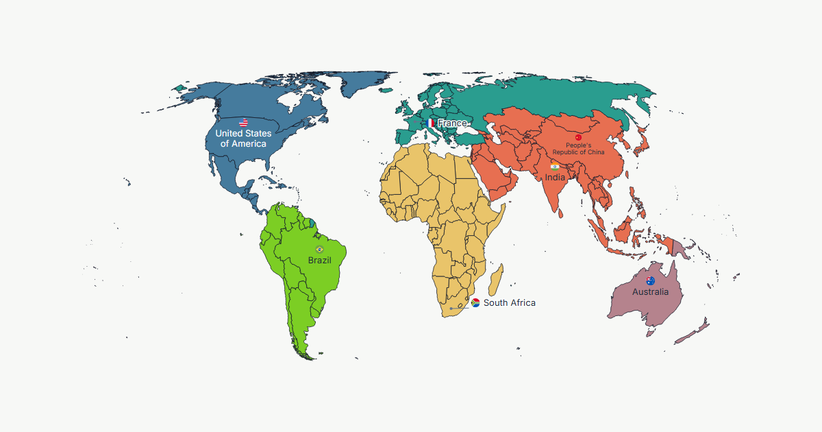
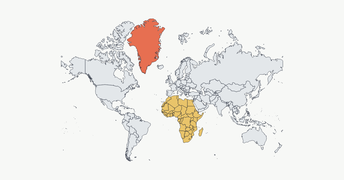
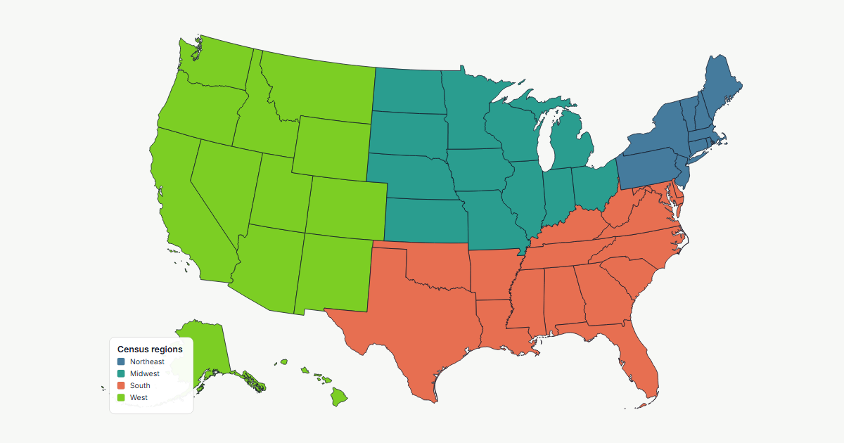
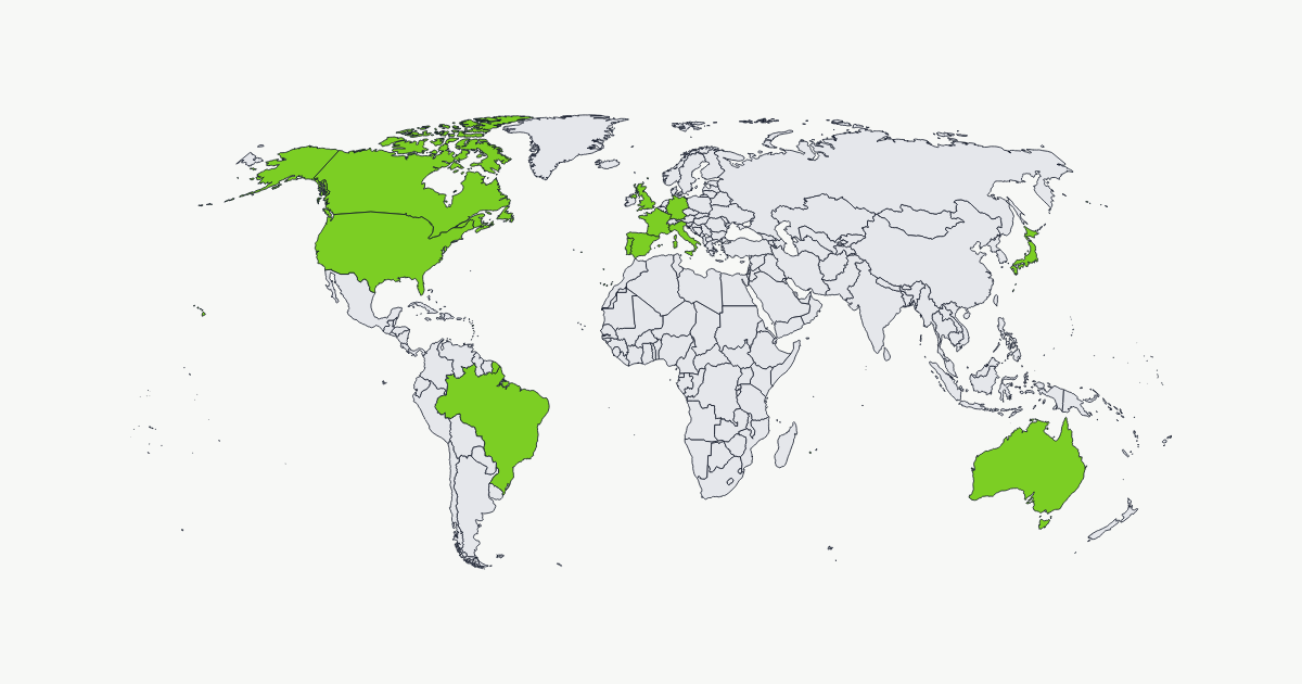
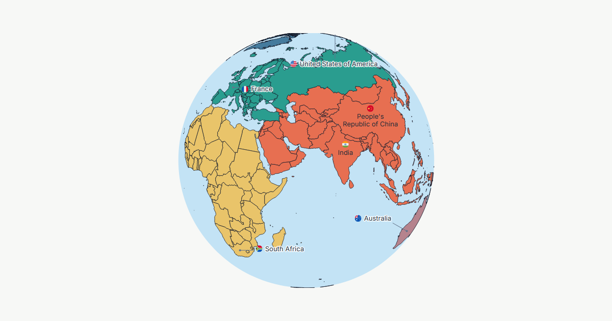
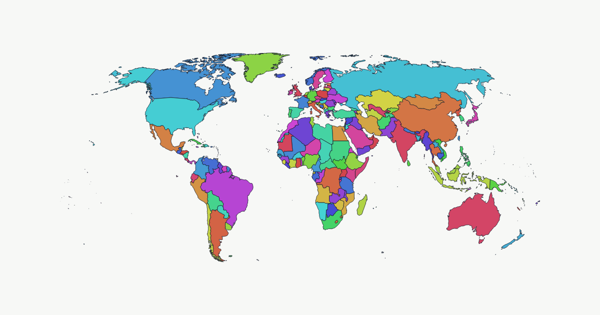
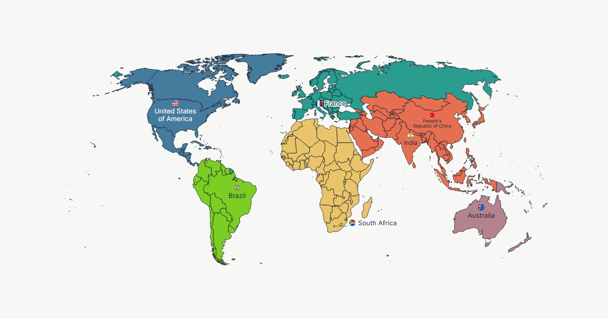
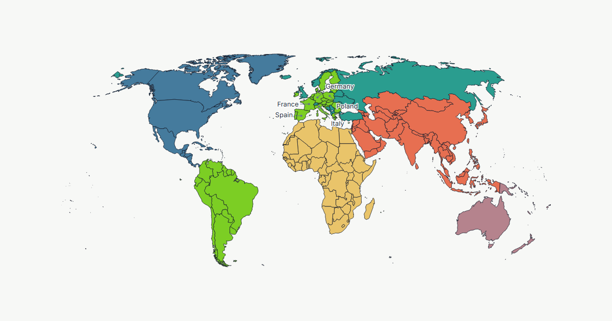
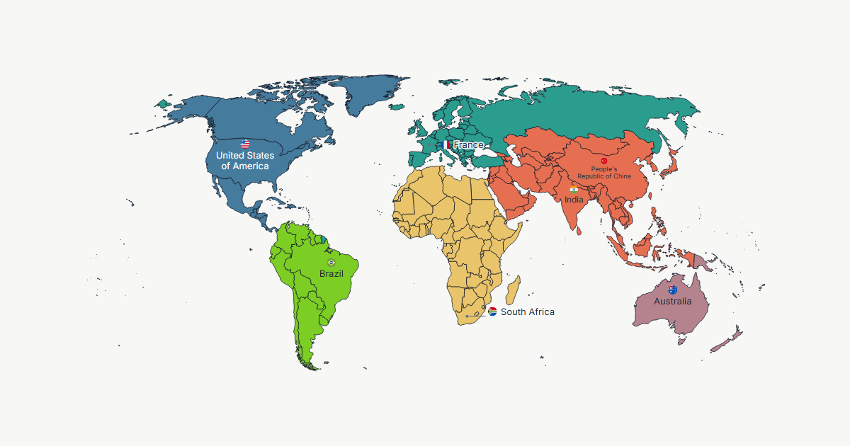
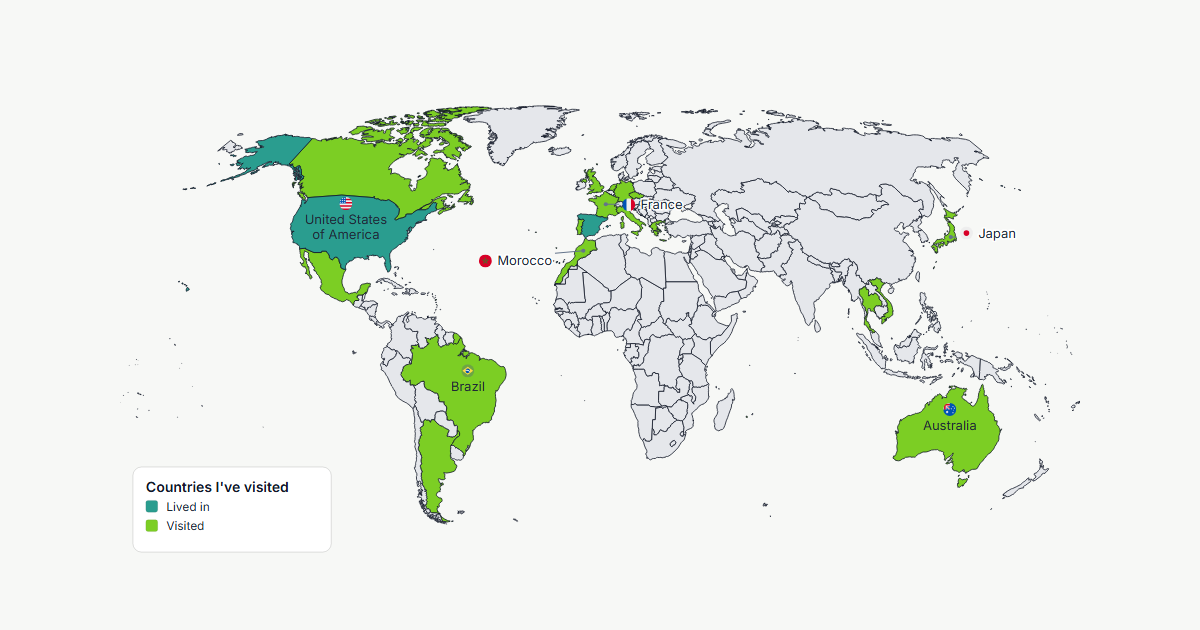
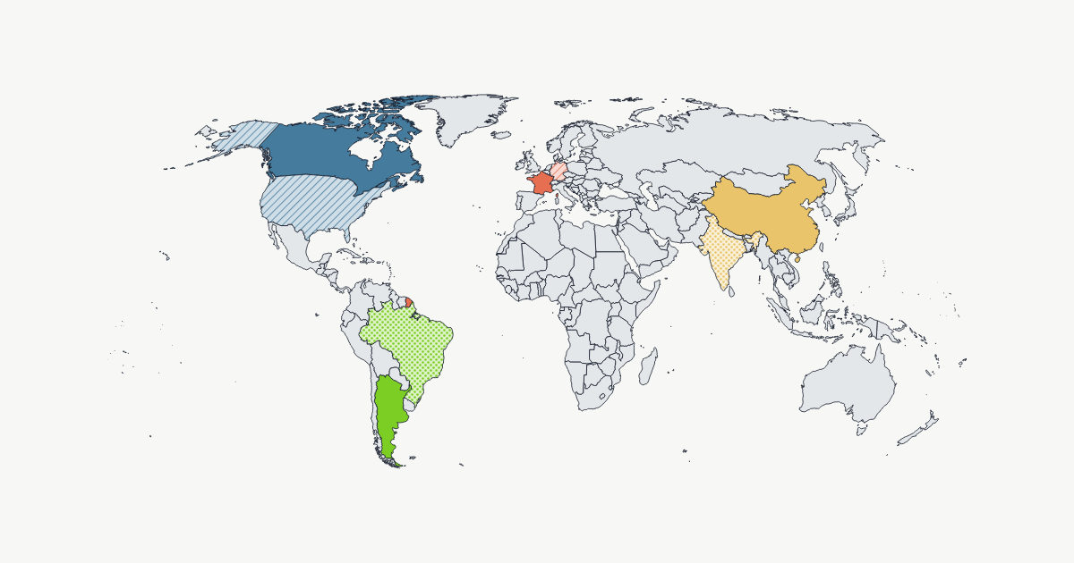
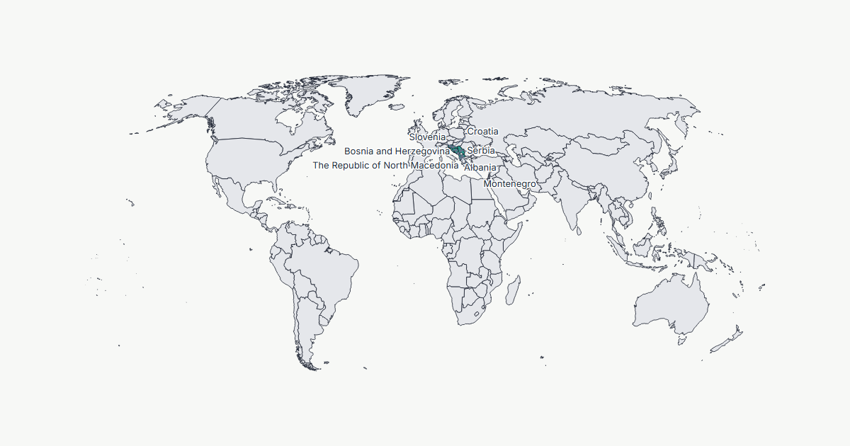
Nothing to read first. The editor opens on a world map you can start painting straight away — it runs entirely in your browser and saves as you go.
Open the editor