How to Make a Geography Quiz or Classroom Map
·3 min·View as Markdown
Written byJordan Hale — Writer, Oh My Maps!
Contents
A geography quiz needs the opposite of a normal reference map: instead of labelling everything so the reader recognises the world at a glance, you want to label almost nothing, so the reader has to know it. Oh My Maps! is a reasonable tool for either job, because labels are entirely under your control, country by country.
Decide what you are testing
Two common formats, and the editor supports both without any special mode:
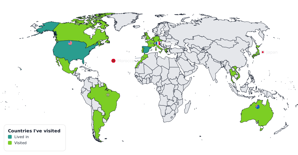
- “Name the highlighted countries.” Paint a handful of countries in one colour, leave the rest at the default fill, and turn labels off entirely. The map is the question; an answer key is a second export with labels on.
- “Match the shaded regions to a legend.” Paint several countries in different colours, add a legend explaining what each colour means, and let students work out which is which from context rather than a printed name.
Either way, start from a blank map: open the editor and nothing is painted yet.
Highlight, without labelling
Pick a colour, click the countries you are asking about, done. If you are building a set (Europe’s capitals, South America, wherever), the Groups control applies a whole continent in one click, which is faster than building a country list by hand when your quiz is regional rather than a scattered set. More on groups in how to colour country groups and alliances.
Build the question map first. Paint the countries you're asking about, no labels, and export.
Open the editorBuild the answer key from the same map
Turn on Country names, search for exactly the countries in play, and label only those, leaving the rest of the world unlabelled. Because this is the same underlying map, painted colours and positions match the question sheet exactly, and exporting the answer key is one more click rather than a second document built from scratch.
When a map is too crowded to label cleanly
If a quiz set clusters a lot of small, adjacent countries, the automatic label placement can run out of room to fit every name legibly (the mechanics are in how Oh My Maps! places country labels automatically). When that happens, the whole set switches to a numbered key panel instead: each country gets a number on the map, and a legend on the side lists the names. For a quiz specifically, this is often the better format anyway, since it forces the student to match a number to a name rather than reading a nearby label.
Keeping it printable
A few settings matter more for a handout than for a screen map:
- Patterns (diagonal hatching, dots) keep painted regions distinguishable when the sheet is photocopied in black and white, which most classroom handouts eventually are. Detail in how to make a colour-blind-friendly, print-safe map.
- Export at 4000 or 8000 px for a sharp printed page; 8000 if the sheet will be printed at full page size or larger.
- SVG is worth exporting alongside the raster if you plan to add a title, question numbers or instructions in a layout tool afterward, since it stays crisp at any size you place it at.
Title and subtitle for a self-contained handout
Title and Subtitle bake a heading into the image itself, useful when the map needs to stand alone on a printed page rather than sitting under a heading you add separately in a document.
Next steps
- The full tour of the editor covers painting, labels and export end to end.
- How to colour country groups and alliances for building regional question sets in one click.
- How to make every country a different colour for a quick reference map with no data behind it at all.
Ready to make yours? Oh My Maps! is free, runs in the browser and needs no sign-up. Your map is saved locally as you work, and exports carry no watermark.
Open the editor